


From the LA Files: #3
Roads, Streets, Highways, Avenues, Boulevards & Drives: Yes, Please

When, as an adult, I moved from my home town of Los Angeles and hitched my horse to the neighborhoods of Washington, D.C. and Northern Virginia, I constantly conjured “the equivalents”. Because I am so inclined to sitting in the drivers seat and just tooling around — it’s a love of cars, and a love of roads that caused that— I would often try to match a street, or avenue, or boulevard, to its counterpart in Los Angeles—the equivalents.
It is hard to conjure a whole lot of similarities between the roads of Northern Virginia (and Washington, D.C.) and Southern Cal, particularly in the physical sense. Los Angeles is an arid, 400-square-mile metropolis that is largely flat —until you get to the the inland valleys and mountains— with at least one quarter of the region sitting at the edge of a continent with nothing but the great Pacific Ocean in one direction. The Washington, D.C. metro area is a perfect contrast what with the Atlantic Ocean 150 miles away. It is like L.A.’s little swampy, sweaty step-cousin, tucked away between three states and surrounded by islands, rivers and bays running in every direction. From a climate perspective, its flora and fauna, and its position latitudinally on the earth, it is easy to see how different can two places be. To perceive an equivalent, it is more a momentary zing that one might feel on a certain road, at a certain time of day, heading in certain direction.
Still, it is pretty wrong to suggest that even by virtue of volume, that Interstate 495, a 64-mile circle around the nation’s capitol, has any similarities whatsoever to north-south running California Interstate 405 in L.A., (technically, the northern portion the San Diego Freeway), except for the fact that they are both unavoidable and possibly the most treacherously trafficked expressways in America. Or, that Route 270, which connects downtown D.C. to parts north in Maryland, pointing you in the direction of Gettysburg and Pittsburgh, is even remotely similar to the grim but vastly-important Harbor Freeway, Interstate 110, the bleak connector of downtown Los Angeles through San Pedro to the Port of LA/Long Beach.
That is almost as odious as comparing Santa Monica Boulevard to U.S. Route 50 in Virginia, (known in parts as Arlington Boulevard, and just “50” to the commuting crowd). Indeed, neither Santa Monica nor 50 are all that pretty, and it’s not like we go out of our way to drive them, yet, at any given exit, or turn, there is always something interesting that we’ve been forced to seek or that we need. Route 50 in the D.C.-Arlington area is patently depressing. (It gets nice much farther west when it plys through Virginia’s famed horse country — think Jacqueline Onassis on horseback with a cigarette.) Santa Monica Boulevard has that same blandness to it. These are roads that are not in the best parts of town, but nor are they in the worst parts. The conventional city-dwelling professional lives with these roads, not giving them much thought until we have to. Confession: I do, in fact, feel an inexplicable connection between these two boulevards, but completely understand how this might be lost on readers.
Meanwhile, there is something of a parallel between Virginia’s Interstate 66 (not to be confused with U.S. Route 66), and U.S. Highway 101 (not to be confused with State Route 1, the Pacific Coast Highway, which we’ll get to shortly), in that they carry a driver through an entire state. Otherwise, at more than 1,500 miles north-south, Highway 101 towers over the 80 or so miles that 66 gives us, and, in that sense, they have a little in common. But, there is a subtle kinship, I tell you, in that they pass you through unforgivable urban blight (think L.A. basin, Ventura and San Fernando Valley) and pour what is left of you out onto the rolling hills or sparkling farm land and wine country, respectively, of Virginia and California. When the 101 or Virginia’s 66 come to mind, it is almost guaranteed that the prospect of setting out on either conjures “road trip”—and with it good music. Alas, fire up the playlist with Hank Williams, Lyle Lovett, Johnny Cash, Lowell George, the Eagles and, yes, even America.

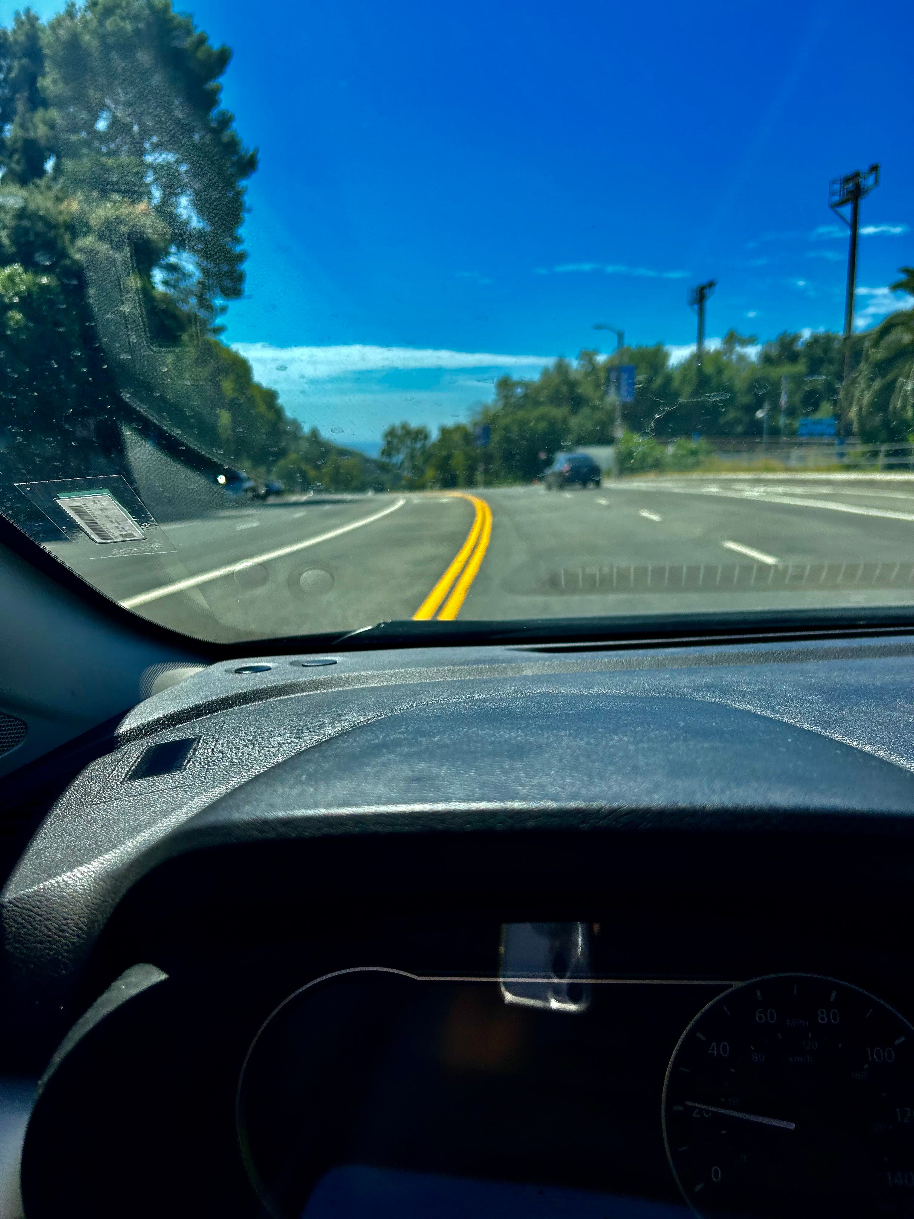
To this driver’s way of thinking, Arlington’s Route 29, formerly known as Lee Highway and renamed Langston Boulevard in 2021, is the closest type of road—for various, odd reasons—to West L.A.’s California State Route 1 (SR1), or the Pacific Coast Highway (PCH). If it wasn’t for physical features, such as the width and the number of lights and the density of cars, it might have something to do with the similar sense of urgency one feels as you drive these roads. U.S. Route 29 is, for example, chronically busy, one need only use it briefly, and, yet, it is an essential connector.
In Los Angeles, the Pacific Coast Highway, due south, gives you Malibu, Santa Monica, Venice and takes you through South Bay (Manhattan Beach, Redondo Beach) and all the way to Huntington Beach, through Orange County, to Dana Point. U.S. Route 29 (it is difficult to drop the pleasant-sounding “Lee Highway” after so many years) brushes past towns in four major counties of Virginia, and pretty much everyone in Virginia lives in one of them: Arlington, Fairfax, PrinceWilliam and Fauquier. What’s more, we cherish those highways, even when they are their most congested and impossible. Both Highways run along a strip of towns and cities that are so very important to the town folk. Put another way, we can’t live without them—our highways— even at their worst.
It is worth it to strike another parallel between the Coast Highway and Route 29 in that they are roads steeped in good history, and wrapped up in a terribly confusing network of bigger roadways. Route 29 is 248 miles long in Virginia, and known since the 1920 as the Seminole Trail, for reasons that have more to do with southbound routes to Florida and not so much with pre-Colonial Native Americans. It bypasses cities and towns all the way through the state until you reach a cloverleaf ramp that dips you into North Carolina, where it continues but not without a fair amount of urban highway confusion.
Similarly, the Coast Highway, SR 1, runs 655 miles along California’s seacoast and is broken into five pieces by U.S. 101. To say it is hard to nail down is an understatement, but for our purposes, we are looking at the portion from Santa Monica to Malibu. Furthermore, and more than you need to know, SR 1, (a.k.a. PCH, or, my default, the Coast Highway) is part of the California Freeway and Expressway System, and part of the National Highway System; and, it is only officially allowed to be called the Pacific Coast Highway (PCH) from Oxnard to Dana Point, where Route 1 officially ends.
Washington’s Rock Creek Parkway, somehow conjoined with Virginia’s George Washington (GW) Parkway, are the topographical equivalents of Sunset Boulevard. The “Parkways”, what with no lights, no intersections and camouflaged, park-like exits, float a driver through D.C., Arlington, and Fairfax (the CIA has an unmarked exit here). In the other direction, the GW Parkway travels along the Potomac River, passing Reagan National Airport, and travels to Alexandria and stunning Mount Vernon. On Sunset Boulevard, a driver heading inland is flanked by the bucolic residential enclaves of Pacific Palisades, Brentwood and Bel Air before arriving in Beverly Hills and Hollywood—it’s your standard “See the Stars Homes” tour bus journey. What is more, both offer up a few stealthy "dead man’s curves” if you aren’t watchful. Still, the Parkway-Sunset Boulevard nexus just makes me smile. All majestic stretches of road, all largely tree-lined and all perennially flanked by the most beautiful, picturesque parts of the two cities. These are lush, lovely, twisting, turning, verdant drives that always deliver, be there rain, snow or blazing sunshine.

And then there are the respective royals of asphalt, the most memorable, distinguished and important stretches of road in each city: Mulholland and Old Dominion —the “Drives”. As equivalents, it seems obvious (to me at least): they’re scenic, they represent the heart and soul of each place, and, physically, they both originate at a nice, clear T-intersection off of our favorite highways, the Coast Highway and Lee Highway. Furthermore, they connect disparate and important part of the cities, thus, taking a driver from one world to another, from the trappings of the workaday world to something more beautiful, tranquil and lush. They take care of us.
The famously-scenic Mulholland Drive, (which is among the longest streets in Los Angeles County at 21 miles), starts at a modest T-intersection north of Malibu, right from the beach, and travels due east from the Coast Highway deep into the valley and hinterlands of Los Angeles. Old Dominion gets its start in Arlington at a large T-intersection off of Lee Highway and, while not quite as long as Mulholland, it stretches through two counties and ends on a two lane road, Virginia Route 193, also known as Georgetown Pike. I count Georgetown Pike as a continuation of Old Dominion, at which point the driver is tooling and twisting up and west toward the rolling hills of Virginia’s horse country, which begins in Great Falls. Finally after much winding, turning and cruising, much like Mulholland, our car finds itself back on Lee Highway, but at a point much farther west. We are only a few miles from Virginia’s infamous rolling green pastures, and, alas, the Blue Ridge vista is within view. Old Dominion and Mulholland are the noble, reliable and beloved “drives” for those of us who love our region and its disparate and beguiling complexities. Mulholland from ocean to Valley; Old Dominion from village to mountain.
Finally, Wilshire Boulevard, Olympic Avenue and Pico Boulevard are loose counterparts for Pennsylvania, Constitution and Independence Avenues. Why, asks the confounded reader?
First, they are mostly straight, which is something, and, second, they cut elegantly through the entire “corpus” of each city. Wilshire, Olympic and Pico run parallel from the coastline to inland points in downtown L.A. and Hollywood, making navigating L.A. easy if you keep these streets in mind. The wide boulevards of Pennsylvania Avenue, Constitution and Independence, as conceived by George Washington’s French city planner, Pierre Charles L’Enfant, formed a grid across a city that would also provide beautiful views from great distances where wide avenues would eventually set off Washington’s important buildings and monuments. Per L’Enfant’s plan, which was realized long after his death, the avenues were intended to intersect, allowing for a universally hospitable, welcoming federal city, while inadvertently forming a grandly-landscape version of a kite. The National Mall serves as the spine, while the five points include the Washington Monument at its center, and the U.S. Capitol, the Lincoln Memorial, and the White House and the Jefferson Memorial at each corner.
One can stand in front of the Capitol and look straight down the National Mall for an exhilarating westward view. At dusk, just as the sun is dipping behind the Virginia skyline, it is possible, if you squint your eyes just so—like we used to do at the beach in Santa Monica— to see the green flash. Unlike the highways and boulevards, there is no equivalent for the green flash. Like the sunset, it’s the same wherever you might be.